[Audiobook]
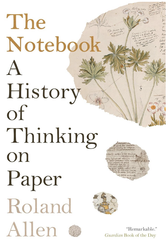
The Notebook, A History of Thinking on Paper by Roland Allen – I have, for years, been a notetaker, mostly in my work but also when I am thinking about other things. None of this has been very structured, or, indeed, readable after the fact.
This book explores the history of notetaking, covering the development of the objects and their use as a prosthetic for the mind, through their use in particular cultures and recounts the legacy of a number of famous notetakers.
Venice in particular played a pivotal role in the ascendance of notebooks, where people carried around a book, of sorts, into which they would copy any prose or poetry they enjoyed along with notes about their own life and travels, they would then share these notes and snippets with their friends.
There is one thing all the famous notetakers have in common, they would all now get an ADHD diagnosis – there is only one way people like Leonardo da Vinci could keep track of all his trains of thought, and that is by outsourcing some of them to paper.
Notebooks are often also used to record travels, it was common for ships to have log books, which have a similar character to notebooks except they may not be so personal – there may be more that one person writing in the log.
For my own use, those notebooks I will leave behind are not going to be as grand a legacy as those of da Vinci, they are disparate and inconsistent, it is a habit that fades in and out for me. It has been more consistent in my work with the advent of wiki and confluence, where I can share my voluminous notes with my colleagues in a searchable form. I’m not sure they really thank me for the stream of consciousness style, but mostly the notes are for myself – I’m sure I did this before, how did I do it?
A fascinating insight into how other people take notes and the history of notetaking.